
_______________
UAV magnetometry uses high resolution sensors with a very high sampling rate towed by a heavy duty unmanned aerial vehicle (UAV) custom designed and built for Arce Geofísicos, to guarantee high performance and constant ground clearance through a laser altimeter system.
To complement our airborne magnetics application and to increase flight safety, we use a DJI Phantom 4 RTK drone, with base station, to generate a detail survey area topographic map; the error of the result image and topographical map will be from 3 to 5 meters (when RTK is not possible due to difficult topography) or from 3 to 5 centimeters with RTK correction. This information will also be delivered to our clients.
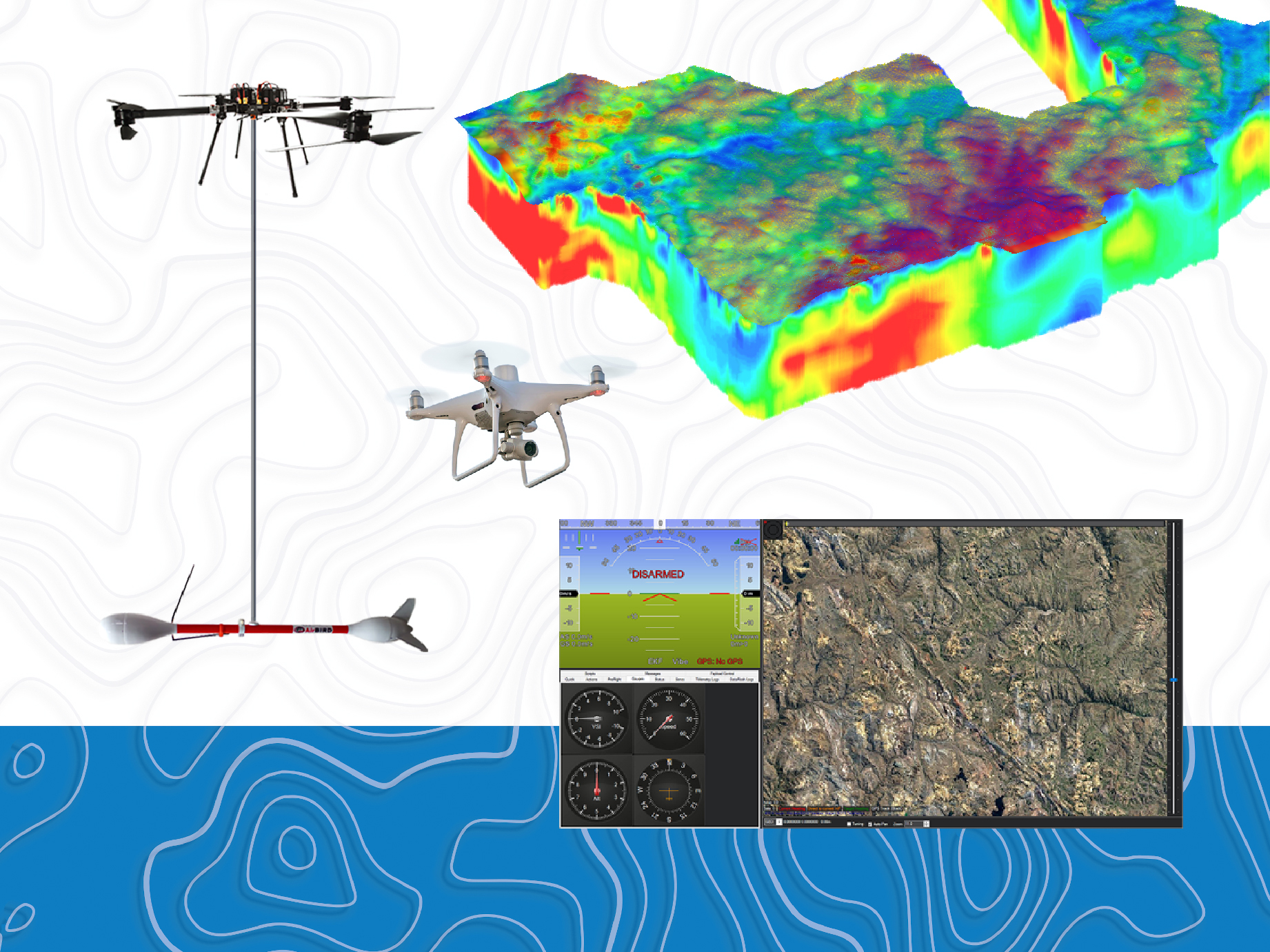
- One heavy duty high-performance drone
- One drone sensor, potassium vapor
-One topographic drone